
Aerial Intelligence.
Real Results.
High-precision drone data for utility, earthwork, and land clearing crews who need to know the site before they bid it — not after.
What we capture
Three ways to see the site
Who we serve
Built for people who bid the work
Utility
Utility Companies
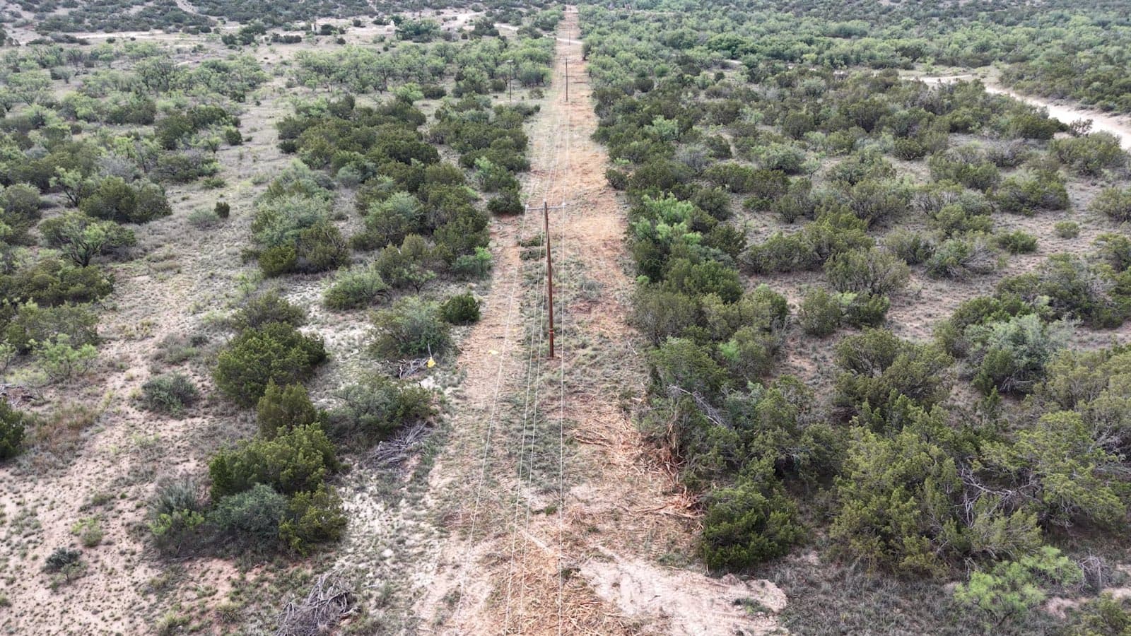
Right-of-way scoping and transmission corridor inspection before crews mobilize.
Earthwork
Dirt & Earthwork Contractors
Cut/fill volumes and site conditions to bid grading work with confidence.
Land Clearing
Land Clearing Companies
Vegetation density and access mapping to price clearing jobs accurately.
How it works
Scope, fly, decide
Scope
Send us the site and what you need to bid.
Fly
We check airspace and access, then schedule the capture.
Process
Data processed into deliverables you can use.
Bid
You bid the job with real site data in hand.
Field pedigree, not a startup
ATS came out of the contracting side of this industry, not a software office. Before this data was ever for sale, it was used to price real clearing and excavation jobs — by people who had to live with the number.
That’s the difference: every deliverable is built by people who’ve had to act on the data themselves.
The gear
Professional payloads, not a hobby drone
A DJI Matrice 400 with three interchangeable sensors and our own RTK base station — so the data is tied to real-world coordinates, not a consumer GPS fix.
See the full spec sheet →LiDAR
Zenmuse L3
Conductor detection to 300 m
Photogrammetry
Zenmuse P1
45 MP full frame
Thermal
Zenmuse H30T
1280 × 1024 radiometric